
Shulls Mill topographic map
Interactive map
Click on the map to display elevation.
About this map
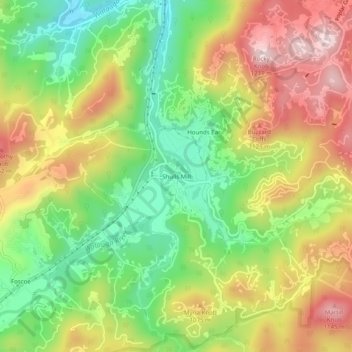
Name: Shulls Mill topographic map, elevation, terrain.
Location: Shulls Mill, Watauga County, North Carolina, United States (36.15374 -81.76372 36.19374 -81.72372)
Average elevation: 1,000 m
Minimum elevation: 821 m
Maximum elevation: 1,206 m