
Taxiche topographic map
Interactive map
Click on the map to display elevation.
About this map
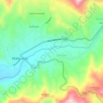
Name: Taxiche topographic map, elevation, terrain.
Location: Taxiche, Malacatos, Loja, 110156, Ecuador (-4.23671 -79.26624 -4.19671 -79.22624)
Average elevation: 1,598 m
Minimum elevation: 1,445 m
Maximum elevation: 1,880 m