
Thank you for supporting this site ❤️
Make a donation
Make a donation
Chewelah topographic map
Click on the map to display elevation.
Thank you for supporting this site ❤️
Make a donation
Make a donation
About this map
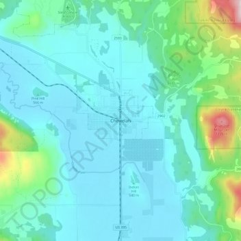
Name: Chewelah topographic map, elevation, terrain.
Location: Chewelah, Stevens County, Washington, United States (48.23629 -117.75552 48.31629 -117.67552)
Average elevation: 611 m
Minimum elevation: 495 m
Maximum elevation: 1,215 m
Thank you for supporting this site ❤️
Make a donation
Make a donation