
Ackworth topographic map
Interactive map
Click on the map to display elevation.
About this map
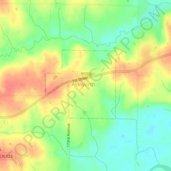
Name: Ackworth topographic map, elevation, terrain.
Location: Ackworth, Warren County, Iowa, United States (41.36125 -93.48147 41.37033 -93.46928)
Average elevation: 261 m
Minimum elevation: 234 m
Maximum elevation: 287 m