
Temple Mount topographic map
Click on the map to display elevation.
Temple Mount
The exact moment when the concept of the Mount as a topographical feature separate from the Temple or the city itself first came into existence is a matter of debate among scholars. According to Eliav, it was during the first century CE, after the destruction of the Second Temple. Shahar and Shatzman reached different conclusions. In the Books of Chronicles, edited at the end of the Persian period, the mountain is already referred to as a distinct entity. In 2 Chronicles, Solomon's Temple was constructed on Mount Moriah (3:1), and Manasseh's atonement for his sins is associated with the Mountain of the House of the Lord (33:15). The conception of the Temple as being located on a holy mountain possessing special qualities is found repeatedly in Psalms, with the surrounding area being considered an integral part of the Temple itself.
About this map
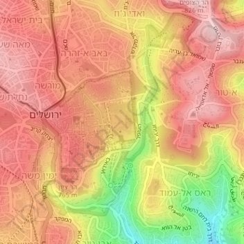
Name: Temple Mount topographic map, elevation, terrain.
Average elevation: 740 m
Minimum elevation: 581 m
Maximum elevation: 822 m
Other topographic maps
Click on a map to view its topography, its elevation and its terrain.