
Ternat topographic map
Interactive map
Click on the map to display elevation.
About this map
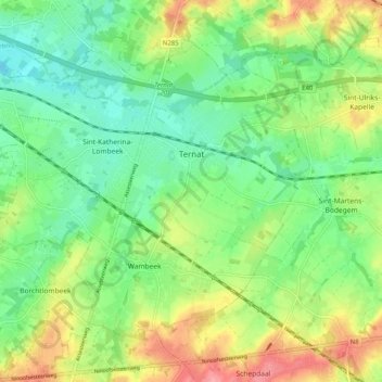
Name: Ternat topographic map, elevation, terrain.
Location: Ternat, Brabant flamand, Flandre, Belgique (50.84070 4.10611 50.88969 4.20680)
Average elevation: 40 m
Minimum elevation: 6 m
Maximum elevation: 94 m