
Thank you for supporting this site ❤️
Make a donation
Make a donation
Daihe topographic map
Click on the map to display elevation.
Thank you for supporting this site ❤️
Make a donation
Make a donation
About this map
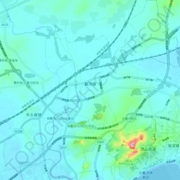
Name: Daihe topographic map, elevation, terrain.
Location: Daihe, Beidaihe District, Qinhuangdao City, Hebei, China (39.80707 119.40173 39.88623 119.49884)
Average elevation: 16 m
Minimum elevation: -2 m
Maximum elevation: 147 m
Thank you for supporting this site ❤️
Make a donation
Make a donation