
Thank you for supporting this site ❤️
Make a donation
Make a donation
Cerro Cuchillo topographic map
Click on the map to display elevation.
Thank you for supporting this site ❤️
Make a donation
Make a donation
About this map
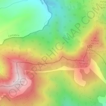
Name: Cerro Cuchillo topographic map, elevation, terrain.
Location: Cerro Cuchillo, Arcentales, Vizcaya, País Vasco, España (43.18690 -3.27532 43.20690 -3.25532)
Average elevation: 659 m
Minimum elevation: 315 m
Maximum elevation: 1,024 m
Thank you for supporting this site ❤️
Make a donation
Make a donation