
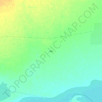
郝家 topographic map
Interactive map
Click on the map to display elevation.
About this map
Name: 郝家 topographic map, elevation, terrain.
Location: 郝家, 十八顷镇, 商都县, 乌兰察布市, 内蒙古自治区, 中国 (41.48234 113.89329 41.52234 113.93329)
Average elevation: 1,283 m
Minimum elevation: 1,271 m
Maximum elevation: 1,298 m