
Thank you for supporting this site ❤️
Make a donation
Make a donation
Lower Grand Lagoon topographic map
Click on the map to display elevation.
Thank you for supporting this site ❤️
Make a donation
Make a donation
About this map
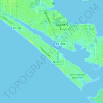
Name: Lower Grand Lagoon topographic map, elevation, terrain.
Location: Lower Grand Lagoon, Bay County, Florida, United States (30.12065 -85.79196 30.17105 -85.72078)
Average elevation: 2 m
Minimum elevation: -1 m
Maximum elevation: 17 m
Thank you for supporting this site ❤️
Make a donation
Make a donation