
Thank you for supporting this site ❤️
Make a donation
Make a donation
Talló topographic map
Click on the map to display elevation.
Thank you for supporting this site ❤️
Make a donation
Make a donation
About this map
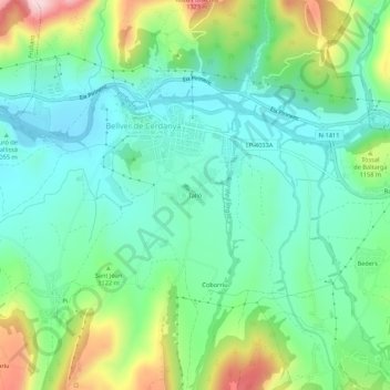
Name: Talló topographic map, elevation, terrain.
Location: Talló, Bellver de Cerdanya, Cerdaña, Cataluña, 25720, España (42.34305 1.76172 42.38305 1.80172)
Average elevation: 1,090 m
Minimum elevation: 997 m
Maximum elevation: 1,318 m
Thank you for supporting this site ❤️
Make a donation
Make a donation