
Segheria topographic map
Interactive map
Click on the map to display elevation.
About this map
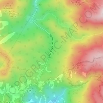
Name: Segheria topographic map, elevation, terrain.
Location: Segheria, Sassello, Savone, Ligurie, Italie (44.43968 8.48358 44.44056 8.48437)
Average elevation: 573 m
Minimum elevation: 376 m
Maximum elevation: 781 m
Other topographic maps
Click on a map to view its topography, its elevation and its terrain.