
Deurne topographic map
Interactive map
Click on the map to display elevation.
About this map
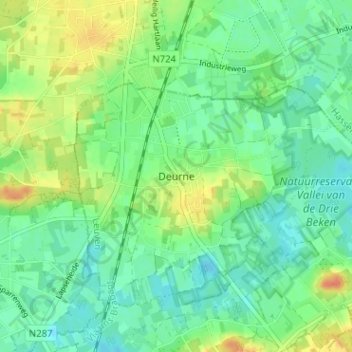
Name: Deurne topographic map, elevation, terrain.
Location: Deurne, Diest, Vlaams-Brabant, Vlaanderen, 3290, België (51.01924 5.07646 51.05924 5.11646)
Average elevation: 26 m
Minimum elevation: 12 m
Maximum elevation: 51 m