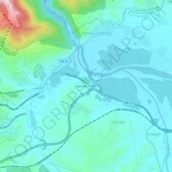
Tazmalt N Lkaf topographic map
Interactive map
Click on the map to display elevation.
About this map
Name: Tazmalt N Lkaf topographic map, elevation, terrain.
Average elevation: 126 m
Minimum elevation: 56 m
Maximum elevation: 510 m

Click on the map to display elevation.
Name: Tazmalt N Lkaf topographic map, elevation, terrain.
Average elevation: 126 m
Minimum elevation: 56 m
Maximum elevation: 510 m