
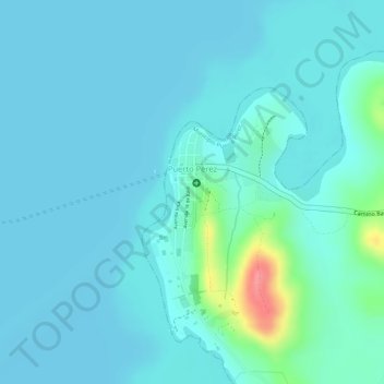
Puerto Perez topographic map
Interactive map
Click on the map to display elevation.
About this map
Name: Puerto Perez topographic map, elevation, terrain.
Average elevation: 3,822 m
Minimum elevation: 3,809 m
Maximum elevation: 3,896 m
Other topographic maps
Click on a map to view its topography, its elevation and its terrain.
Quewaya
Bolivia > La Paz > Provincia Los Andes > Municipio Puerto Pérez > Quewaya
Quewaya, Municipio Puerto Pérez, Provincia Los Andes, La Paz, Bolivia
Average elevation: 3,832 m