
霞葛镇 topographic map
Interactive map
Click on the map to display elevation.
About this map
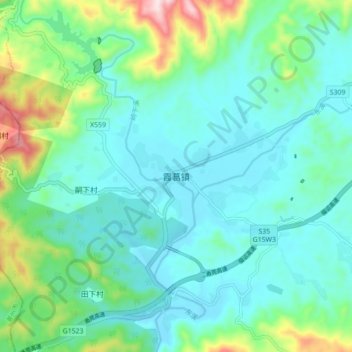
Name: 霞葛镇 topographic map, elevation, terrain.
Location: 霞葛镇, 诏安县, 漳州市, 福建省, 中国 (23.95057 116.97621 24.03057 117.05621)
Average elevation: 174 m
Minimum elevation: 86 m
Maximum elevation: 501 m
Other topographic maps
Click on a map to view its topography, its elevation and its terrain.