
Thank you for supporting this site ❤️
Make a donation
Make a donation
Thessalia topographic map
Click on the map to display elevation.
Thank you for supporting this site ❤️
Make a donation
Make a donation
About this map
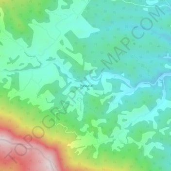
Name: Thessalia topographic map, elevation, terrain.
Location: Thessalia, Giles County, Virginia, United States (37.23244 -80.80653 37.27244 -80.76653)
Average elevation: 739 m
Minimum elevation: 577 m
Maximum elevation: 1,175 m
Thank you for supporting this site ❤️
Make a donation
Make a donation
Other topographic maps
Click on a map to view its topography, its elevation and its terrain.