
Thank you for supporting this site ❤️
Make a donation
Make a donation
Kaag topographic map
Click on the map to display elevation.
Thank you for supporting this site ❤️
Make a donation
Make a donation
About this map
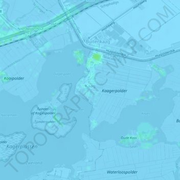
Name: Kaag topographic map, elevation, terrain.
Location: Kaag, Kaag en Braassem, South Holland, Netherlands (52.20636 4.55428 52.21889 4.59849)
Average elevation: -2 m
Minimum elevation: -6 m
Maximum elevation: 7 m
Thank you for supporting this site ❤️
Make a donation
Make a donation