
Thank you for supporting this site ❤️
Make a donation
Make a donation
Gwana topographic map
Click on the map to display elevation.
Thank you for supporting this site ❤️
Make a donation
Make a donation
About this map
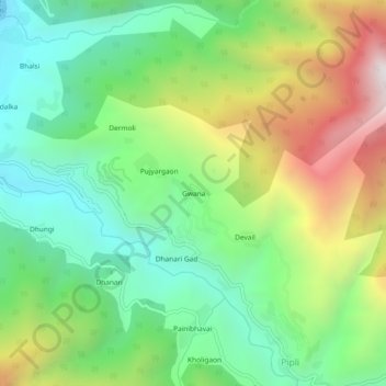
Name: Gwana topographic map, elevation, terrain.
Location: Gwana, Dunda, Uttarkashi district, Uttarakhand, 249151, India (30.65149 78.36006 30.69149 78.40006)
Average elevation: 1,429 m
Minimum elevation: 932 m
Maximum elevation: 2,299 m
Thank you for supporting this site ❤️
Make a donation
Make a donation