
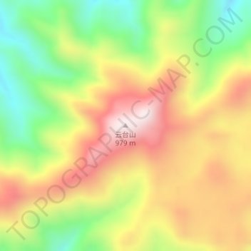
云台山 topographic map
Interactive map
Click on the map to display elevation.
About this map
Name: 云台山 topographic map, elevation, terrain.
Location: 云台山, 安化县, 益阳市, 湖南省, 中国 (28.37353 110.98177 28.37363 110.98187)
Average elevation: 651 m
Minimum elevation: 370 m
Maximum elevation: 929 m
Other topographic maps
Click on a map to view its topography, its elevation and its terrain.