
Габитация topographic map
Interactive map
Click on the map to display elevation.
About this map
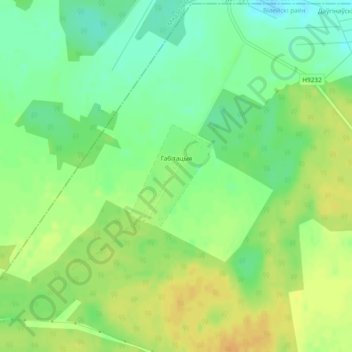
Name: Габитация topographic map, elevation, terrain.
Average elevation: 182 m
Minimum elevation: 167 m
Maximum elevation: 195 m
Other topographic maps
Click on a map to view its topography, its elevation and its terrain.
Баярка
Беларусь > Минская область > Вилейский район > Долгиновский сельский Совет
Баярка, Долгиновский сельский Совет, Вилейский район, Минская область, 222376, Беларусь
Average elevation: 178 m