
Subcarpathian Voivodeship topographic map
Interactive map
Click on the map to display elevation.
About this map
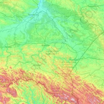
Name: Subcarpathian Voivodeship topographic map, elevation, terrain.
Location: Subcarpathian Voivodeship, Poland (49.00205 21.14000 50.82055 23.54791)
Average elevation: 333 m
Minimum elevation: 135 m
Maximum elevation: 1,284 m
Other topographic maps
Click on a map to view its topography, its elevation and its terrain.