
保亭县 topographic map
Interactive map
Click on the map to display elevation.
About this map
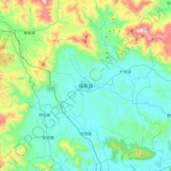
Name: 保亭县 topographic map, elevation, terrain.
Location: 保亭县, 保亭黎族苗族自治县, 海南省, 中国 (18.48028 109.53944 18.80028 109.85944)
Average elevation: 322 m
Minimum elevation: 18 m
Maximum elevation: 1,453 m
Other topographic maps
Click on a map to view its topography, its elevation and its terrain.