
Thank you for supporting this site ❤️
Make a donation
Make a donation
Vienna topographic map
Click on the map to display elevation.
Thank you for supporting this site ❤️
Make a donation
Make a donation
About this map
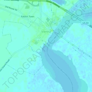
Name: Vienna topographic map, elevation, terrain.
Location: Vienna, Dorchester County, Maryland, United States (38.47211 -75.84111 38.48907 -75.82202)
Average elevation: 3 m
Minimum elevation: -2 m
Maximum elevation: 12 m
Thank you for supporting this site ❤️
Make a donation
Make a donation
Other topographic maps
Click on a map to view its topography, its elevation and its terrain.