
Talas Region topographic map
Interactive map
Click on the map to display elevation.
About this map
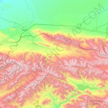
Name: Talas Region topographic map, elevation, terrain.
Location: Talas Region, Kyrgyzstan (42.04798 70.86520 42.83281 73.65878)
Average elevation: 1,727 m
Minimum elevation: 397 m
Maximum elevation: 4,444 m
Other topographic maps
Click on a map to view its topography, its elevation and its terrain.