
Pereyra topographic map
Interactive map
Click on the map to display elevation.
About this map
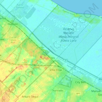
Name: Pereyra topographic map, elevation, terrain.
Location: Pereyra, Partido de Berazategui, Buenos Aires, Argentina (-34.88749 -58.18502 -34.76501 -58.02190)
Average elevation: 9 m
Minimum elevation: -1 m
Maximum elevation: 34 m