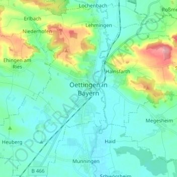
Oettingen in Bayern topographic map
Interactive map
Click on the map to display elevation.
About this map
Name: Oettingen in Bayern topographic map, elevation, terrain.
Average elevation: 436 m
Minimum elevation: 410 m
Maximum elevation: 533 m

Click on the map to display elevation.
Name: Oettingen in Bayern topographic map, elevation, terrain.
Average elevation: 436 m
Minimum elevation: 410 m
Maximum elevation: 533 m