
Saint-Amans topographic map
Interactive map
Click on the map to display elevation.
About this map
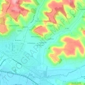
Name: Saint-Amans topographic map, elevation, terrain.
Average elevation: 89 m
Minimum elevation: 45 m
Maximum elevation: 181 m
Other topographic maps
Click on a map to view its topography, its elevation and its terrain.
Cétou
France > Nouvelle-Aquitaine > Lot-et-Garonne > Castelculier > Cétou
Cétou, Castelculier, Agen, Lot-et-Garonne, Nouvelle-Aquitaine, France métropolitaine, 47240, France
Average elevation: 100 m