
Thank you for supporting this site ❤️
Make a donation
Make a donation
Water Fall topographic map
Click on the map to display elevation.
Thank you for supporting this site ❤️
Make a donation
Make a donation
About this map
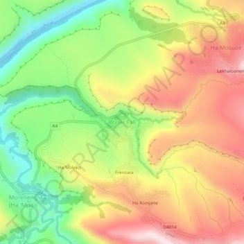
Name: Water Fall topographic map, elevation, terrain.
Location: Water Fall, Qacha's Nek District, Lesotho (-30.07906 28.61969 -30.03906 28.65969)
Average elevation: 1,826 m
Minimum elevation: 1,590 m
Maximum elevation: 2,064 m
Thank you for supporting this site ❤️
Make a donation
Make a donation