
Thank you for supporting this site ❤️
Make a donation
Make a donation
Tianzi topographic map
Click on the map to display elevation.
Thank you for supporting this site ❤️
Make a donation
Make a donation
About this map
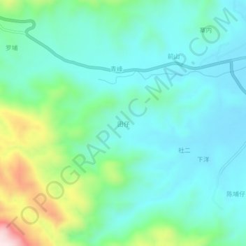
Name: Tianzi topographic map, elevation, terrain.
Location: Tianzi, Nan'an City, Quanzhou, Fujian, China (25.15408 118.22596 25.19408 118.26596)
Average elevation: 212 m
Minimum elevation: 103 m
Maximum elevation: 573 m
Thank you for supporting this site ❤️
Make a donation
Make a donation