
Thank you for supporting this site ❤️
Make a donation
Make a donation
St. Libory topographic map
Click on the map to display elevation.
Thank you for supporting this site ❤️
Make a donation
Make a donation
About this map
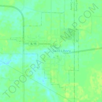
Name: St. Libory topographic map, elevation, terrain.
Average elevation: 128 m
Minimum elevation: 121 m
Maximum elevation: 133 m
Thank you for supporting this site ❤️
Make a donation
Make a donation
Other topographic maps
Click on a map to view its topography, its elevation and its terrain.
Thank you for supporting this site ❤️
Make a donation
Make a donation
Dutch Hollow
United States > Illinois > Saint Clair County > Belleville > Dutch Hollow
Average elevation: 170 m