Geolocate

益庆乡 topographic map

Interactive map

Click on the map to display elevation.

About this map

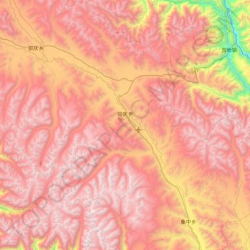
Name: 益庆乡 topographic map, elevation, terrain.

Location: 益庆乡, 八宿县, 昌都市, 西藏自治区, 中国 (30.27820 96.87910 30.84216 97.44393)

Average elevation: 4,730 m

Minimum elevation: 3,102 m

Maximum elevation: 5,750 m

Other topographic maps

Click on a map to view its topography, its elevation and its terrain.

帮达镇

中国 > 西藏自治区 > 八宿县

帮达镇, 八宿县, 昌都市, 西藏自治区, 中国

Average elevation: 4,302 m

拉根乡

中国 > 西藏自治区 > 八宿县

拉根乡, 八宿县, 昌都市, 西藏自治区, 中国

Average elevation: 4,270 m

瓦乡

中国 > 西藏自治区 > 八宿县

瓦乡, 八宿县, 昌都市, 西藏自治区, 中国

Average elevation: 4,774 m

然乌镇

中国 > 西藏自治区 > 八宿县

然乌镇, 八宿县, 昌都市, 西藏自治区, 中国

Average elevation: 4,849 m

然乌湖

中国 > 西藏自治区 > 八宿县

然乌湖, 八宿县, 昌都市, 西藏自治区, 中国

Average elevation: 4,243 m