
Pakuan Ratu topographic map
Interactive map
Click on the map to display elevation.
About this map
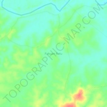
Name: Pakuan Ratu topographic map, elevation, terrain.
Location: Pakuan Ratu, Way Kanan, Lampung, Indonesia (-4.37021 104.73762 -4.33021 104.77762)
Average elevation: 32 m
Minimum elevation: 13 m
Maximum elevation: 68 m