
Thank you for supporting this site ❤️
Make a donation
Make a donation
Huntington topographic map
Click on the map to display elevation.
Thank you for supporting this site ❤️
Make a donation
Make a donation
About this map
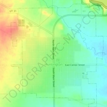
Name: Huntington topographic map, elevation, terrain.
Location: Huntington, Emery County, Utah, 84528, United States (39.31564 -110.97881 39.34319 -110.94582)
Average elevation: 1,767 m
Minimum elevation: 1,744 m
Maximum elevation: 1,800 m
Thank you for supporting this site ❤️
Make a donation
Make a donation