
Thank you for supporting this site ❤️
Make a donation
Make a donation
Helena topographic map
Click on the map to display elevation.
Thank you for supporting this site ❤️
Make a donation
Make a donation
About this map
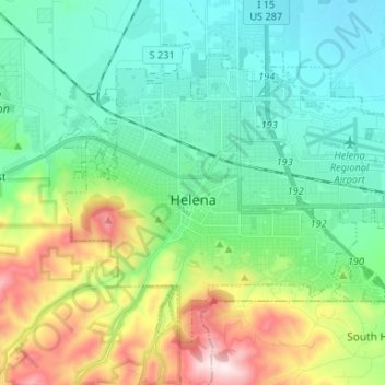
Name: Helena topographic map, elevation, terrain.
Location: Helena, Lewis and Clark County, Montana, United States (46.55922 -112.08328 46.62948 -111.95157)
Average elevation: 1,296 m
Minimum elevation: 1,128 m
Maximum elevation: 1,741 m
Thank you for supporting this site ❤️
Make a donation
Make a donation