
Lieskau topographic map
Interactive map
Click on the map to display elevation.
About this map
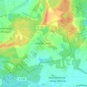
Name: Lieskau topographic map, elevation, terrain.
Average elevation: 142 m
Minimum elevation: 126 m
Maximum elevation: 167 m
Der Ortskern von Lieskau liegt auf 141 m ü. NHN. Höchste Erhebung ist die Ellahöhe an der westlichen Gemarkungsgrenze mit 163 m ü. NHN. Tiefster Punkt ist bei Seeteich mit 129 m ü. NHN