
Thank you for supporting this site ❤️
Make a donation
Make a donation
Canoe topographic map
Click on the map to display elevation.
Thank you for supporting this site ❤️
Make a donation
Make a donation
About this map
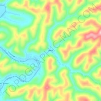
Name: Canoe topographic map, elevation, terrain.
Location: Canoe, Breathitt County, Kentucky, United States (37.42898 -83.46852 37.46898 -83.42852)
Average elevation: 299 m
Minimum elevation: 209 m
Maximum elevation: 430 m
Thank you for supporting this site ❤️
Make a donation
Make a donation