
Greene Township topographic map
Interactive map
Click on the map to display elevation.
About this map
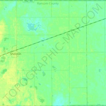
Name: Greene Township topographic map, elevation, terrain.
Average elevation: 327 m
Minimum elevation: 320 m
Maximum elevation: 335 m
Other topographic maps
Click on a map to view its topography, its elevation and its terrain.
Enderlin
United States > North Dakota > Ransom County
Enderlin, Ransom County, North Dakota, United States
Average elevation: 341 m