
ward 4 (Ghorka) topographic map
Interactive map
Click on the map to display elevation.
About this map
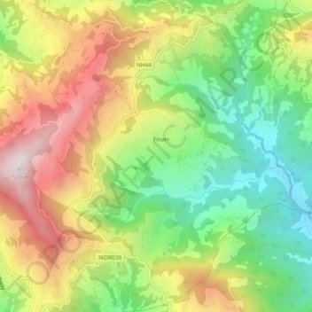
Name: ward 4 (Ghorka) topographic map, elevation, terrain.
Location: ward 4 (Ghorka), गोरखा, Gandaki Pradesh, Nepal (27.98364 84.63454 28.02514 84.67683)
Average elevation: 992 m
Minimum elevation: 581 m
Maximum elevation: 1,495 m