
Thank you for supporting this site ❤️
Make a donation
Make a donation
Edgewood topographic map
Click on the map to display elevation.
Thank you for supporting this site ❤️
Make a donation
Make a donation
About this map
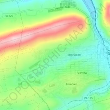
Name: Edgewood topographic map, elevation, terrain.
Location: Edgewood, Northumberland County, Pennsylvania, United States (40.78352 -76.59134 40.79314 -76.56427)
Average elevation: 297 m
Minimum elevation: 204 m
Maximum elevation: 444 m
Thank you for supporting this site ❤️
Make a donation
Make a donation