
隆梗 topographic map
Interactive map
Click on the map to display elevation.
About this map
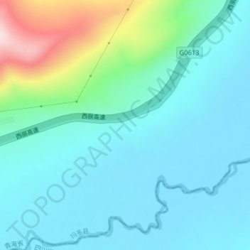
Name: 隆梗 topographic map, elevation, terrain.
Location: 隆梗, 玛多县, 果洛藏族自治州, 青海省, 中国 (34.16111 97.75191 34.18111 97.77191)
Average elevation: 4,672 m
Minimum elevation: 4,597 m
Maximum elevation: 4,972 m
Other topographic maps
Click on a map to view its topography, its elevation and its terrain.