
Thank you for supporting this site ❤️
Make a donation
Make a donation
Weitra topographic map
Click on the map to display elevation.
Thank you for supporting this site ❤️
Make a donation
Make a donation
About this map
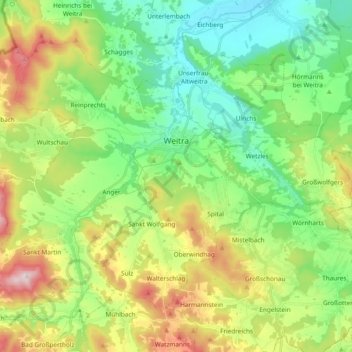
Name: Weitra topographic map, elevation, terrain.
Location: Weitra, Bezirk Gmünd, Lower Austria, 3970, Austria (48.64040 14.80705 48.73616 14.99635)
Average elevation: 638 m
Minimum elevation: 487 m
Maximum elevation: 935 m
Thank you for supporting this site ❤️
Make a donation
Make a donation
Other topographic maps
Click on a map to view its topography, its elevation and its terrain.