
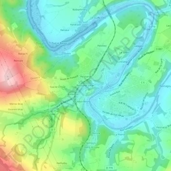
Rostomic Vihan topographic map
Interactive map
Click on the map to display elevation.
About this map
Name: Rostomic Vihan topographic map, elevation, terrain.
Average elevation: 68 m
Minimum elevation: -3 m
Maximum elevation: 232 m
Other topographic maps
Click on a map to view its topography, its elevation and its terrain.
Pennarun
France > Bretagne > Finistère > Châteaulin
Pennarun, Châteaulin, Finistère, Bretagne, France métropolitaine, 29150, France
Average elevation: 65 m
Run Ar Puns
France > Bretagne > Finistère > Châteaulin
Run Ar Puns, Châteaulin, Finistère, Bretagne, France métropolitaine, 29150, France
Average elevation: 56 m