
Vrin topographic map
Interactive map
Click on the map to display elevation.
About this map
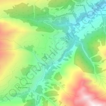
Name: Vrin topographic map, elevation, terrain.
Location: Vrin, Lumnezia, Surselva, Grisões, Suíça (46.63557 9.07844 46.67557 9.11844)
Average elevation: 1,698 m
Minimum elevation: 1,143 m
Maximum elevation: 2,624 m