
Tintange topographic map
Interactive map
Click on the map to display elevation.
About this map
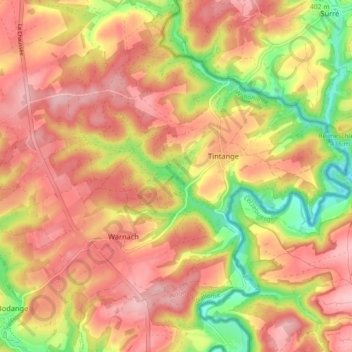
Name: Tintange topographic map, elevation, terrain.
Location: Tintange, Fauvillers, Bastogne, Luxembourg, Wallonie, Belgique (49.85237 5.69437 49.89822 5.78403)
Average elevation: 430 m
Minimum elevation: 336 m
Maximum elevation: 491 m