
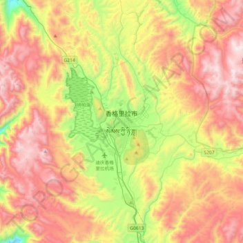
香格里拉市 topographic map
Interactive map
Click on the map to display elevation.
About this map
Name: 香格里拉市 topographic map, elevation, terrain.
Location: 香格里拉市, 建塘镇, 香格里拉市, 迪庆藏族自治州, 云南省, 674400, 中国 (27.67633 99.54411 27.99633 99.86411)
Average elevation: 3,674 m
Minimum elevation: 2,830 m
Maximum elevation: 4,532 m
Other topographic maps
Click on a map to view its topography, its elevation and its terrain.