
Ifta topographic map
Interactive map
Click on the map to display elevation.
About this map
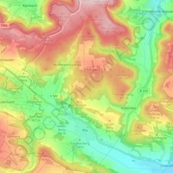
Name: Ifta topographic map, elevation, terrain.
Location: Ifta, Treffurt, Wartburgkreis, Thüringen, Deutschland (51.04817 10.14036 51.10975 10.20014)
Average elevation: 338 m
Minimum elevation: 194 m
Maximum elevation: 494 m