
Tingo topographic map
Interactive map
Click on the map to display elevation.
About this map
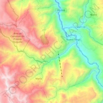
Name: Tingo topographic map, elevation, terrain.
Location: Tingo, Provincia de Luya, Amazonas, 01415, Perú (-6.46009 -78.02093 -6.32060 -77.87213)
Average elevation: 2,691 m
Minimum elevation: 1,742 m
Maximum elevation: 3,844 m
Other topographic maps
Click on a map to view its topography, its elevation and its terrain.