
Thank you for supporting this site ❤️
Make a donation
Make a donation
Boseind topographic map
Click on the map to display elevation.
Thank you for supporting this site ❤️
Make a donation
Make a donation
About this map
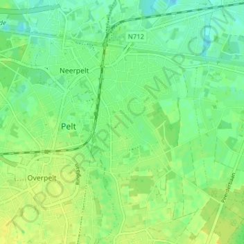
Name: Boseind topographic map, elevation, terrain.
Location: Boseind, Neerpelt, Pelt, Maaseik, Limburg, 3910, België (51.20044 5.42391 51.24044 5.46391)
Average elevation: 42 m
Minimum elevation: 33 m
Maximum elevation: 50 m
Thank you for supporting this site ❤️
Make a donation
Make a donation
Other topographic maps
Click on a map to view its topography, its elevation and its terrain.