
Strathkinness topographic map
Click on the map to display elevation.
About this map
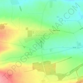
Name: Strathkinness topographic map, elevation, terrain.
Location: Strathkinness, Fife, Scotland, United Kingdom (56.32979 -2.88198 56.33714 -2.86710)
Average elevation: 77 m
Minimum elevation: 33 m
Maximum elevation: 142 m